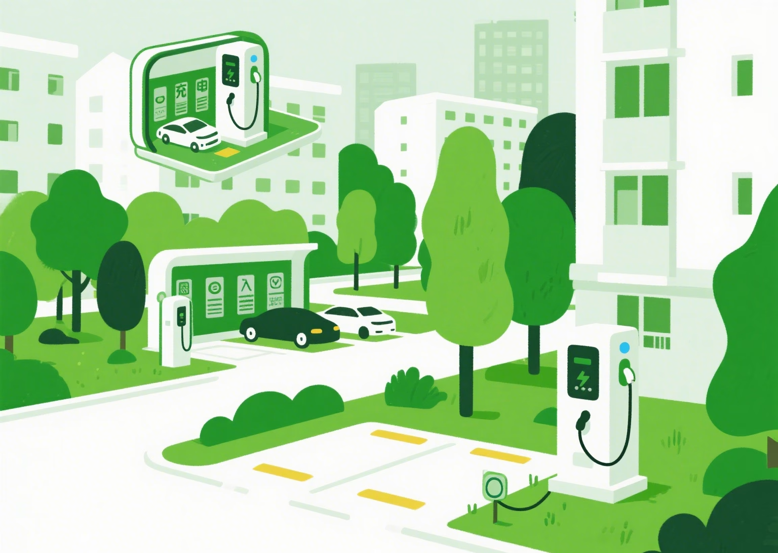
In an era where electric vehicles (EVs) are rapidly reshaping the global automotive landscape, the critical need for a robust and intelligently designed charging infrastructure has never been more apparent. As cities around the world grapple with the challenges of accommodating the surging number of electric vehicles on their roads, a groundbreaking approach to charging station planning is emerging as a game-changer. This innovative methodology, rooted in data-driven analysis and advanced algorithms, promises to address the longstanding issues of uneven distribution, inefficient capacity allocation, and mismatched supply and demand that have plagued EV infrastructure development.
The exponential growth of the EV market has created a pressing demand for charging facilities that can keep pace with technological advancements and consumer expectations. However, the current state of charging infrastructure often fails to meet these needs, with stations either clustered in inconvenient locations, insufficient in number during peak hours, or underutilized during off-peak periods. This disconnect not only frustrates EV owners but also hinders the broader adoption of electric vehicles, as range anxiety and charging accessibility remain significant barriers for potential buyers.
Against this backdrop, a team of researchers has developed a comprehensive framework that leverages travel data to inform every aspect of charging station planning. This approach represents a paradigm shift from traditional methods, which often rely on generalized assumptions or limited datasets. By harnessing the power of real-world travel patterns, the new methodology ensures that charging stations are strategically placed to serve actual demand, optimizing both user experience and operational efficiency.
The Foundation: Travel Data Analysis
At the core of this innovative planning method is a rigorous process of data collection and analysis. The researchers utilized a rich dataset from a major ride-hailing platform, covering a one-month period in a bustling urban area. This data included detailed information about trip origins and destinations, travel times, and vehicle trajectories, providing a comprehensive picture of mobility patterns within the study area.
The first step in the process involved meticulous data preprocessing to ensure accuracy and relevance. This included filtering out anomalous records, such as extremely short trips that were unlikely to require charging, and converting geographic coordinates to a consistent system for reliable spatial analysis. These steps were crucial in laying the groundwork for meaningful insights into travel behavior.
From the cleaned dataset, the researchers constructed two key matrices: a trajectory matrix and an Origin-Destination (OD) matrix. The trajectory matrix captured the complete path of each trip, including intermediate points, while the OD matrix focused on the start and end points of each journey. Together, these matrices provided a detailed understanding of where vehicles were traveling, when they were on the road, and how far they were going—all critical factors in determining charging needs.
This focus on real-world travel data represents a significant improvement over many existing planning models, which often rely on synthetic data or generalized travel surveys. By using actual trip information, the new methodology ensures that charging station placement is rooted in the specific mobility patterns of the area, increasing the likelihood that the resulting infrastructure will meet real-world needs.
Modeling Energy Consumption
A key challenge in EV charging station planning is accurately predicting how much energy vehicles will need and when they will need it. To address this, the researchers developed a sophisticated energy consumption model that takes into account two primary factors: traffic conditions and environmental temperature.
The traffic component of the model categorizes roads into four levels based on urban planning standards, recognizing that driving conditions significantly affect energy use. Vehicles on high-speed arterial roads, for example, consume energy at a different rate than those navigating congested local streets with frequent stops and starts. By assigning energy consumption coefficients to each road type, the model can more accurately predict how much charge a vehicle will use on any given route.
Temperature also plays a crucial role in EV energy consumption, affecting both battery efficiency and the need for climate control. The researchers incorporated a temperature sensitivity factor into their model, based on real-world data showing how energy use varies with ambient temperature. This factor is particularly important in regions with extreme temperature variations, where heating or cooling demands can significantly impact range.
By combining these two factors, the model calculates a comprehensive energy consumption rate for each segment of a vehicle’s journey. This detailed approach ensures that predictions of when and where vehicles will need to charge are based on realistic energy use patterns, rather than generic estimates.
Predicting Charging Demand
With a clear understanding of travel patterns and energy consumption, the next step is to predict when and where drivers will seek charging. The researchers employed the Monte Carlo simulation method to generate probabilistic forecasts of charging demand, taking into account the variability and uncertainty inherent in driver behavior.
The simulation process considers different types of vehicles—private cars, taxis, and official vehicles—each with distinct usage patterns and charging behaviors. Private cars, for example, are more likely to charge at destinations such as workplaces or shopping centers, while taxis may need to charge during off-peak hours to minimize disruption to their service.
For each vehicle type, the model calculates the remaining battery charge at each point in the journey and determines if and when a charging stop will be necessary. This decision is based on factors such as remaining range, distance to destination, and typical driver behavior, including a “range anxiety” factor that captures the tendency to charge before batteries are fully depleted.
By running thousands of simulations, the model generates a detailed picture of expected charging demand across the study area, both spatially and temporally. This includes not just how many vehicles will need to charge, but also when they will arrive at charging stations and how much energy they will require—critical information for determining station capacity and placement.
The result is a dynamic charging demand map that highlights hotspots where charging infrastructure is most needed and identifies peak times when stations will be busiest. This level of detail allows planners to make informed decisions about where to locate new stations and how many charging points each should have.
Optimizing Station Placement and Capacity
Armed with detailed predictions of charging demand, the researchers then turned to the problem of optimizing station placement and capacity. This involved balancing multiple, often competing objectives: minimizing construction and operational costs, ensuring convenient access for users, and reducing waiting times.
To address this complex optimization problem, the researchers employed a two-step approach combining Voronoi diagrams and an improved Particle Swarm Optimization (PSO) algorithm. Voronoi diagrams are used to partition the study area into service zones, ensuring that each potential charging station location has a well-defined catchment area. This helps in evenly distributing coverage and avoiding overlapping service areas.
The PSO algorithm then searches for the optimal set of station locations within these zones, using a fitness function that considers both infrastructure costs and user costs. The infrastructure costs include construction, equipment, and ongoing operations, while user costs encompass travel time to the station and waiting time once there.
A key innovation in this approach is the use of M/M/c queuing theory to model waiting times at each station. This mathematical framework allows planners to determine the optimal number of charging points at each station to balance the trade-off between construction costs (more chargers cost more) and user inconvenience (fewer chargers mean longer waits).
The optimization process also includes constraints to ensure that stations are not placed too close together (wasting resources) or too far apart (inconveniencing users). These constraints are based on typical EV range and road network characteristics, ensuring that the resulting plan is both practical and efficient.
By simultaneously considering both provider costs and user experience, the model produces plans that are economically viable while still meeting the needs of EV drivers—a balance that is often missing in more narrowly focused planning approaches.
Real-World Application and Results
To validate their approach, the researchers applied their methodology to a real-world case study in an urban area with a significant and growing EV population. The study area, approximately 77 square kilometers, was chosen for its diverse mix of residential, commercial, and industrial zones, presenting the same challenges faced by planners in many cities.
The results of the analysis were striking. The model recommended a total of 12 charging stations strategically distributed across the study area, with varying numbers of charging points at each location based on expected demand. This configuration minimized the total social cost—defined as the sum of infrastructure costs and user costs—by balancing accessibility with efficiency.
Spatial analysis of the recommended locations revealed that stations were concentrated in areas with high traffic density and frequent trip origins or destinations, such as commercial districts and major transportation hubs. This pattern ensures that charging facilities are readily available where they are most needed, reducing detours for drivers.
Temporal analysis showed that the recommended configuration effectively handled peak demand periods, typically in the morning, early afternoon, and evening. By strategically locating stations with higher capacity in areas experiencing these peaks, the model ensured that waiting times remained reasonable even during busiest hours.
Perhaps most importantly, the case study demonstrated that the methodology could adapt to the unique characteristics of the study area. For example, stations in the downtown core were smaller but more numerous, reflecting higher land costs and greater demand density, while stations in suburban areas were larger and more spread out, taking advantage of lower costs and serving a more dispersed population.
The researchers also compared their results with those from more traditional planning approaches, finding that their data-driven method resulted in a 15-20% reduction in total social cost while improving service quality as measured by average waiting times and travel distances to stations.
Implications for Future EV Infrastructure
The findings of this research have significant implications for the future development of EV charging infrastructure. As electric vehicles continue to gain market share, the need for intelligent, data-driven planning will only become more critical.
One key insight is the importance of leveraging real-world travel data. By grounding planning decisions in actual mobility patterns, cities can avoid the pitfalls of overbuilding in some areas while leaving others underserved. This data-driven approach also allows for more agile adaptation to changing conditions, such as shifts in travel patterns or the introduction of new vehicle technologies with different range and charging characteristics.
The methodology also highlights the value of considering multiple stakeholders in the planning process. By balancing the needs of both infrastructure providers (through cost minimization) and users (through accessibility and convenience), the resulting plans are more likely to be both economically sustainable and widely used—two essential ingredients for successful EV adoption.
Looking forward, the researchers suggest that their approach could be further enhanced by incorporating real-time data feeds, allowing for dynamic adjustments to charging station operations based on current conditions. This could include adaptive pricing to manage demand during peak periods or temporary reallocation of mobile charging resources to address unexpected bottlenecks.
Another promising extension is the integration of renewable energy sources and energy storage into the planning process. As more charging stations incorporate solar panels or battery storage, the optimal placement and sizing of these facilities would need to consider not just mobility patterns but also energy generation and grid stability.
Perhaps most significantly, the methodology provides a scalable framework that can be adapted to cities of different sizes and characteristics. Whether applied to a dense urban core, a sprawling metropolitan area, or a smaller town, the underlying principles—data-driven demand prediction, multi-objective optimization, and stakeholder balance—remain relevant.
Conclusion: Paving the Way for Sustainable Mobility
The research presented here represents a significant step forward in the science of EV charging infrastructure planning. By combining detailed travel data analysis, sophisticated energy consumption modeling, and advanced optimization techniques, the methodology provides a comprehensive framework for creating charging networks that are both efficient and user-friendly.
In an era where sustainable transportation is no longer a choice but a necessity, such planning tools will be essential for cities seeking to accommodate the inevitable shift to electric vehicles. The benefits extend beyond convenience for EV owners, encompassing reduced greenhouse gas emissions, improved air quality, and more efficient use of urban space.
As with any planning tool, the effectiveness of this methodology depends on the quality and relevance of the data used. Cities implementing similar approaches will need to invest in robust data collection systems, whether through partnerships with ride-hailing services, vehicle telemetry, or dedicated mobility surveys.
Looking ahead, the continued evolution of this approach will likely involve greater integration with smart city technologies, including connected vehicles that can communicate their charging needs in real time and grid management systems that optimize electricity distribution to meet fluctuating demand.
Ultimately, the goal is not just to build charging stations but to create a seamless mobility ecosystem where electric vehicles can operate as conveniently and efficiently as their gasoline-powered predecessors. By providing a data-driven, user-centric approach to infrastructure planning, this research brings us one step closer to that vision—a future where sustainable transportation is the norm rather than the exception.